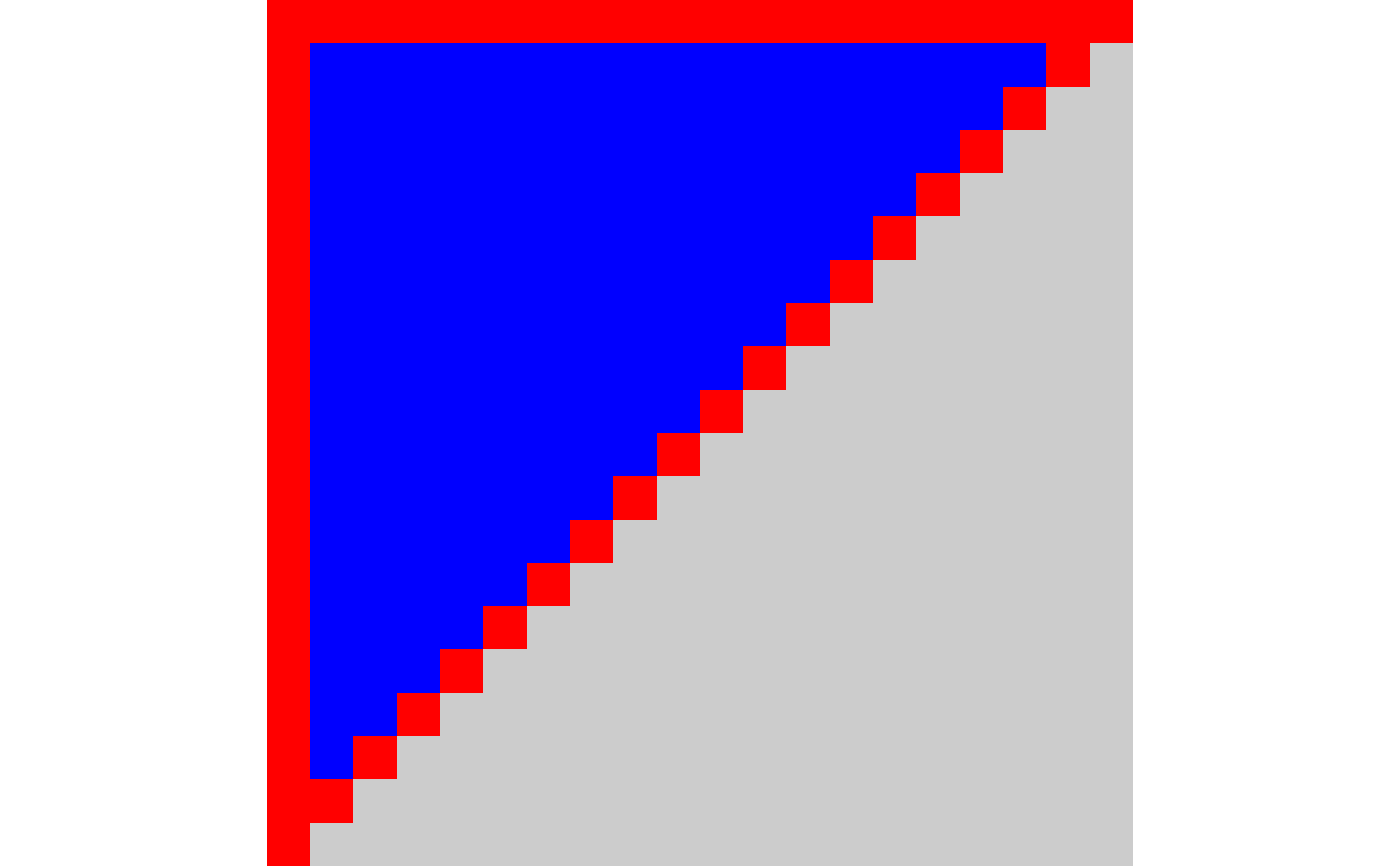
Draw multiple polygons on a native raster image
nr_polygon(
  nr,
  x,
  y,
  id = NULL,
  fill = "black",
  color = NA,
  linewidth = 1,
  mitre_limit = linewidth,
  use_alpha = TRUE
)
Arguments
- nr
native raster image
- x, y
Vectors of point coordinates
- id
integer vector used to separate coordinates into multiple polygons. Consecutive runs of the same
idvalue belong to the same polygon. If NULL (the default) then all coordinates are assumed to be vertices of a single polygon.- fill
fill color
- color
Color as a character string. Either a standard R color (e.g. 'blue', 'white') or a hex color of the form
#rrggbbaa,#rrggbb,#rgbaor#rgb- linewidth
Line linewidth. Default: 1. If
linewidth = 1then a naive version of Bresenham is used to draw the points. If linewidth is greater than 1, then the line is convert to a triangle strip and rendered as polygons.- mitre_limit
Limit the size of the mitre when two lines meet at an acute angle and linewidth is greater than 1. Default: same as line linewidth which mostly looks OK.
- use_alpha
Use alpha channel when drawing? Logical. Default: TRUE
Value
Invisibly return the supplied native raster image which was been modified in-place
See also
Other drawing functions:
nr_circle(),
nr_polyline(),
nr_rect(),
nr_tri_mesh()